


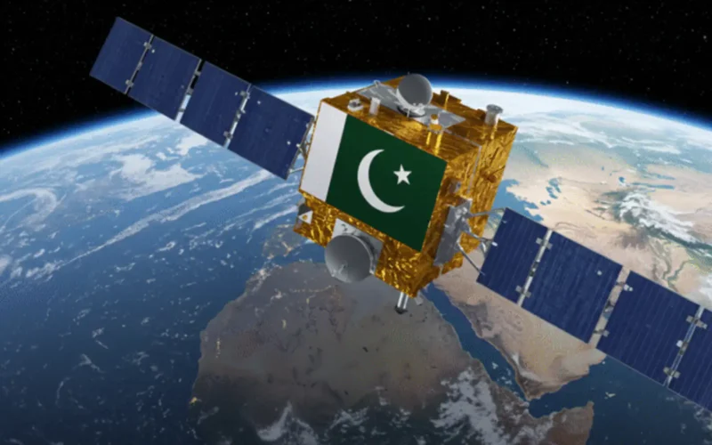

Pakistan has successfully launched its latest remote-sensing satellite, PRSS-II, on July 31, 2025, from the Xichang Satellite Launch Centre in China, as confirmed by the Space and Upper Atmosphere Research Commission (SUPARCO). This major step boosts Pakistan’s space capabilities across multiple sectors.
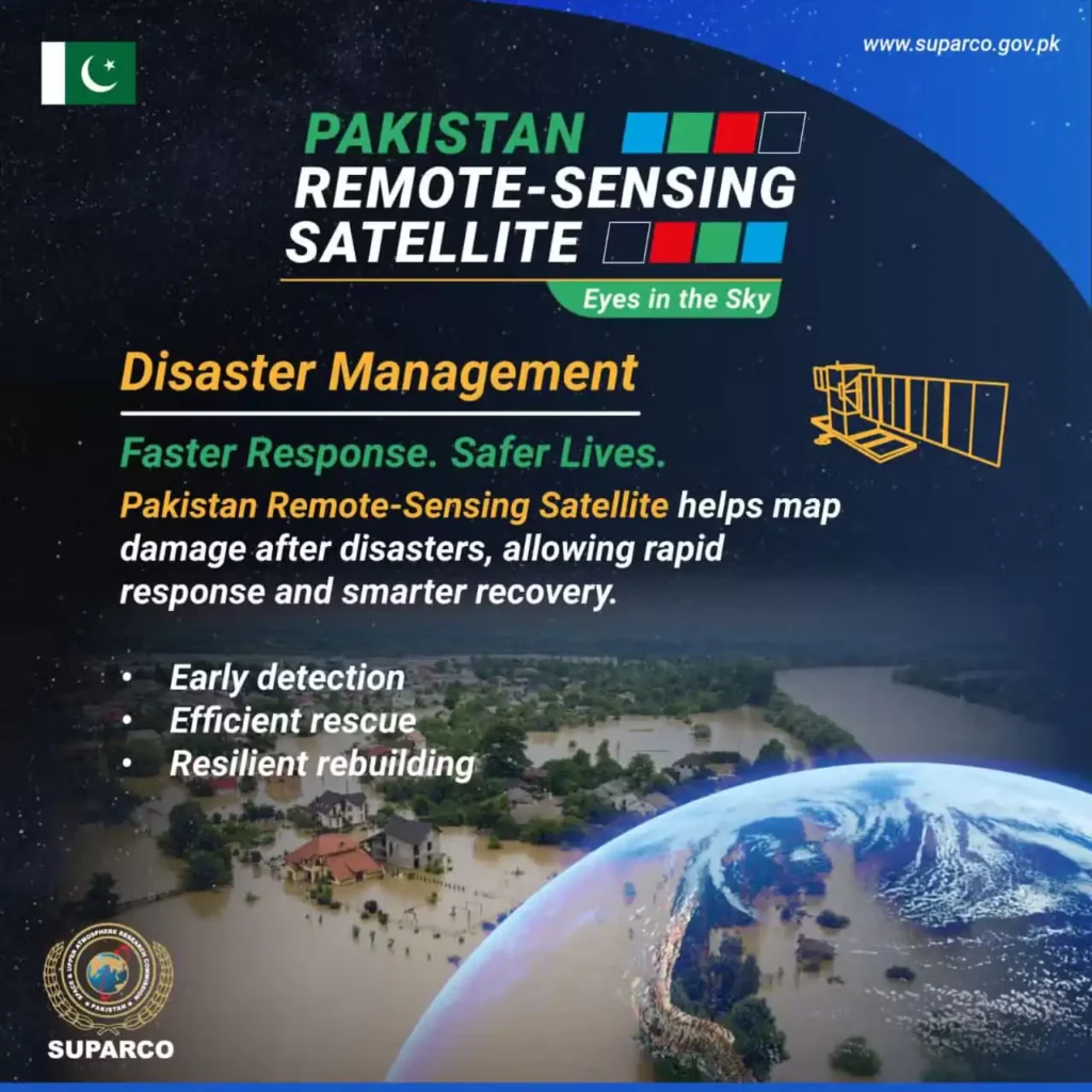
Boost to Disaster Management
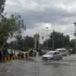
PRSS-II strengthens disaster response. It offers real-time satellite imagery after floods, earthquakes, or other natural disasters. This allows faster mapping of affected areas, helping authorities plan immediate relief and organize recovery efforts quickly.
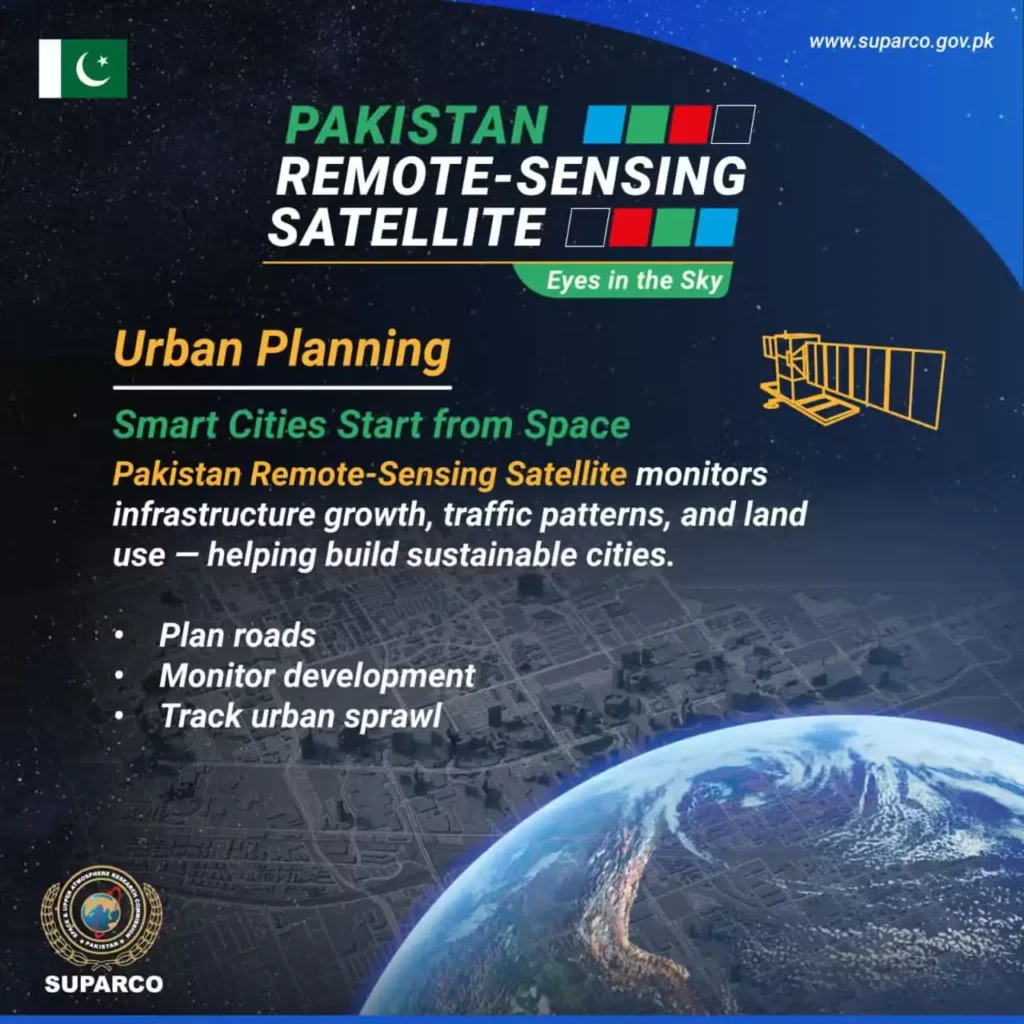
Improved Urban Planning
The satellite aids in urban development. It tracks land use, monitors infrastructure growth, and observes traffic patterns. City planners can now create better road networks, manage urban expansion, and design more sustainable environments.
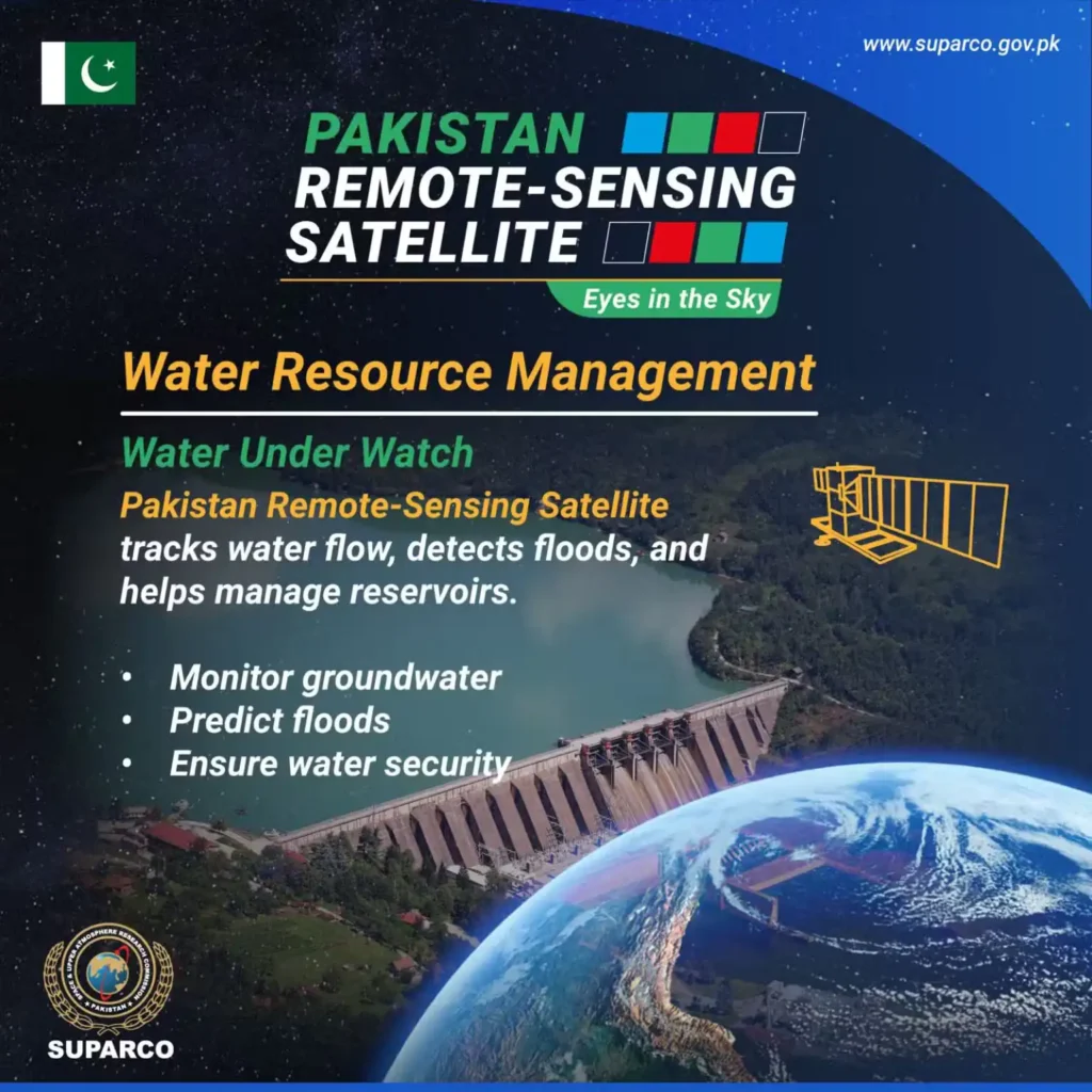
Efficient Water Resource Monitoring
PRSS-II supports better water management. It monitors water flow, identifies floods, and tracks reservoirs. The data helps forecast floods and contributes to long-term water security strategies.
Advancements in Agriculture
The satellite observes crop health and farmland conditions. It estimates yields and detects early signs of crop stress. This enables farmers and policymakers to take timely action, boosting productivity and ensuring food security.
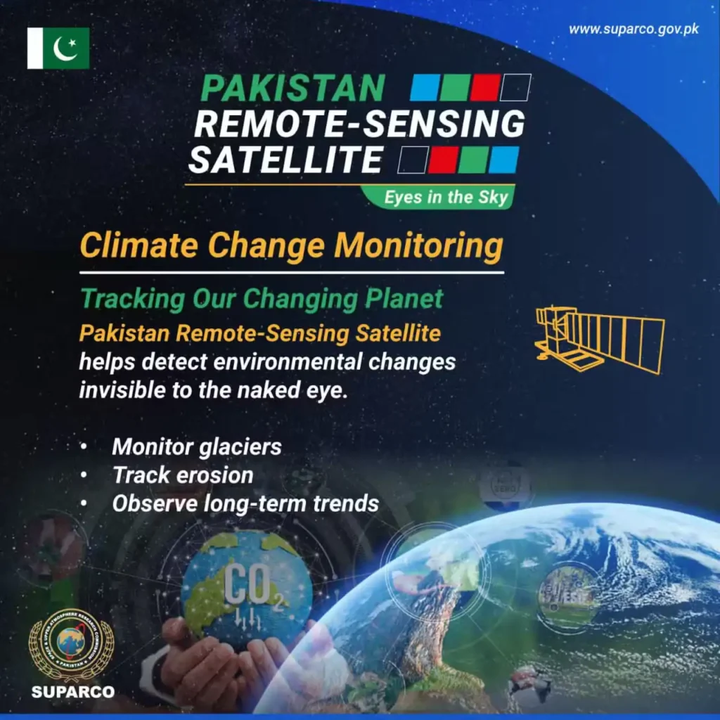
Climate and Environmental Monitoring
PRSS-II monitors changes in the environment. It tracks glacier retreat, soil erosion, and long-term climate trends. These insights are crucial for understanding and addressing the impact of climate change in Pakistan.
Read More: Pakistan to launch remote sensing satellite on July 31
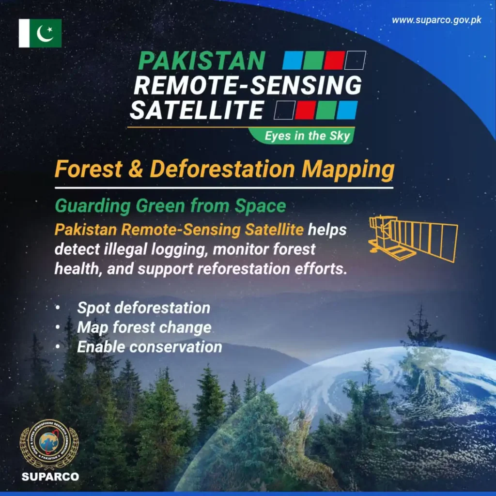
Forest Protection and Anti-Deforestation
PRSS-II aids in monitoring forests. It helps detect illegal logging, assess forest health, and support reforestation efforts. The data ensures better protection of Pakistan’s green cover.
SUPARCO called PRSS-II a major leap forward. It marks Pakistan’s growing independence in space-based surveillance and environmental management. The satellite opens new opportunities in national planning and scientific development.